Scour at every foundation, every hour.
A year of hourly waves, currents and tides (8,760 hours), water depth, foundation diameter and sediment grain size give bed shear and equilibrium scour around each foundation, ranked by how close it is to the allowance.
The physics
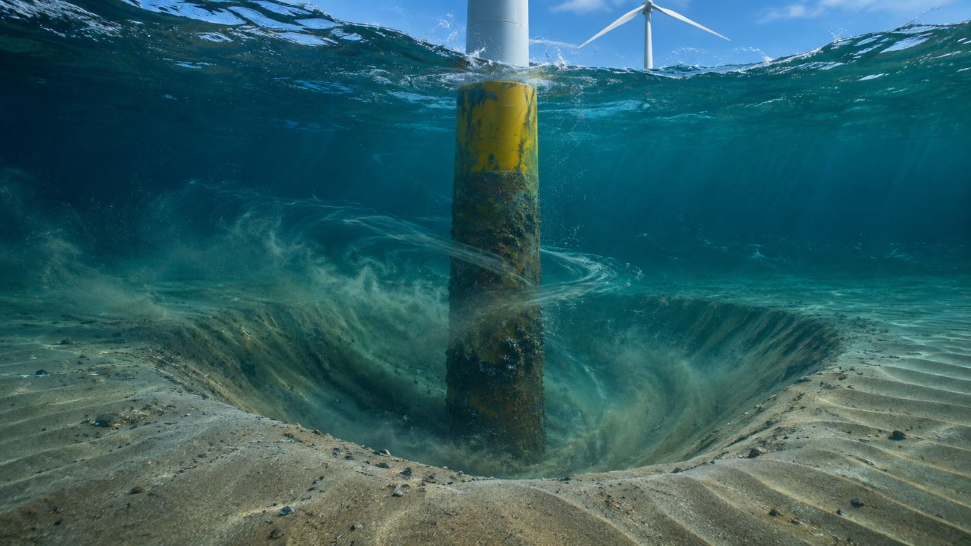
When flow wraps around a foundation, the seabed erodes.
Currents and waves speed up and form vortices around a foundation, carrying away the sand next to it. That is scour. As it deepens, the soil supporting the foundation shrinks, which affects structural safety and fatigue life.
- Combined wave–current bed shear: Soulsby (1997)
- Threshold of motion: Soulsby–Whitehouse critical Shields number
- Equilibrium scour and time scale: Sumer & Fredsøe (2002), KC and Ucw
- Sediment transport: MPM (Meyer-Peter–Müller)
Inputs and outputs
What goes in, what comes out
| Item | Detail |
|---|---|
| Ocean forcing | Open-Meteo Marine significant wave height, period, direction, currents and tide for one year + 7-day forecast (about 5–8 km, hourly) |
| Water depth | GMRT (GEBCO + multibeam) per foundation (about 100–450 m grid) |
| Foundation | Type (monopile, jacket, …) and diameter, e.g. Southwest Sea demo jacket D 1.8 m |
| Sediment | Median grain size d50, e.g. 0.12 mm in the Southwest Sea demo |
| Output | Estimated scour / allowance (m), ratio, risk score and foundation ranking |
| Alert | Foundations with estimated scour of 70% of allowance or more |
Live screen
Foundation ranking
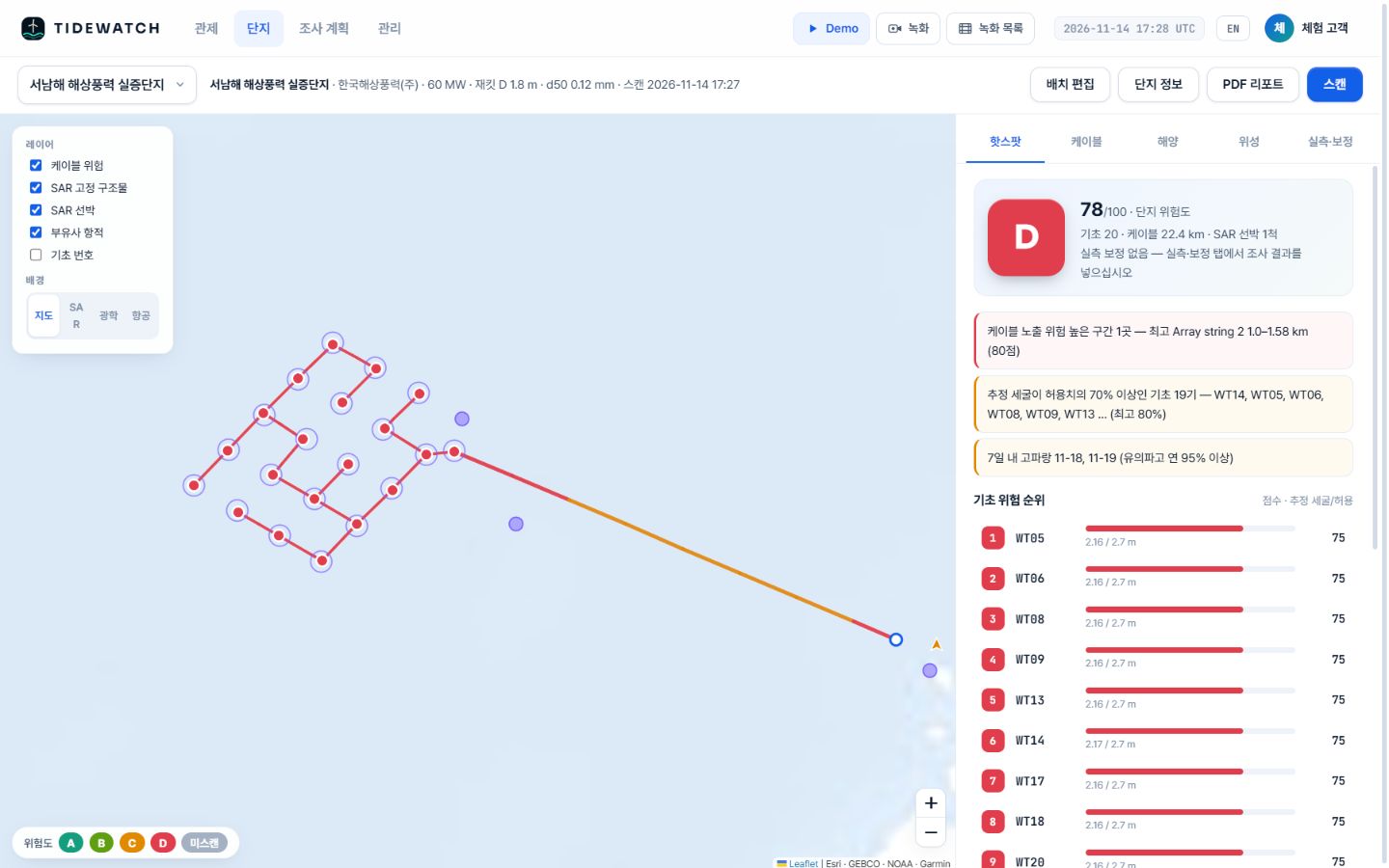
Demo account, Korean interface. In the Southwest Sea demo, WT05, WT06 and others reached an estimated 2.16 m against a 2.7 m allowance (80%), risk score 75; 19 foundations were at 70% or more. Pilot calculation from public information and default values.
FAQ
Frequently asked questions
Do you measure scour directly?
No. It is estimated from ocean forcing and engineering formulas. Add MBES or ROV results in the calibration tab and the model fits your site.
What about scour protection (rock armour)?
Where protection is in place the computed value can overstate actual scour. We recommend adding protection details and past survey results for calibration.
How is the allowance set?
It follows the design basis or the operator’s own criteria and is agreed during the pilot analysis.
Related pages
Pilot analysis
Send us the wind farm name. We send back a first report.
Tell us the location, number of turbines and foundation type. We build the layout from satellite detection and return a first report with scour per foundation, exposure risk per cable segment and a survey priority list.