Every cable segment carries a different risk.
TIDEWATCH splits array and export cables into segments and scores exposure risk as seabed mobility × burial depth × vessel proximity. Survey the few riskiest kilometres first, not the whole cable.
Three factors
Moving sand, thin cover and ships nearby.
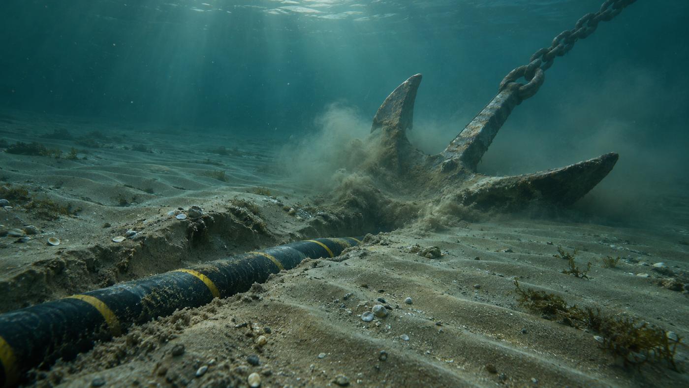
Cables are protected by burial. When waves and currents move the seabed, the cover thins, and an exposed cable is easily damaged by anchors and fishing gear.
- Seabed mobility: share of time bed shear exceeds the threshold of motion, per segment
- Burial depth: as-built records or a default (e.g. 1.0 m)
- Vessel proximity: vessels detected near the cable in Sentinel-1
- The three are multiplied into a 0–100 score, ranking and alerts
Example
Cable risk in the demo farms
In the Southwest Sea demo, Array string 2 from 1.0 to 1.58 km scored 80 with 62% seabed mobility; in the Horns Rev 1 demo, Array string H from 4.0 to 5.0 km scored highest at 96.
| Rank | Segment | Score | Reason |
|---|---|---|---|
| 1 | Array string 2 · 1.0–1.58 km | 80 | mobile 62% · 0 vessels · burial 1.0 m |
| 2 | Array string 1 · 0.0–0.45 km | 78 | mobile 59% · 0 vessels · burial 1.0 m |
| 3 | Array string 2 · 0.0–1.0 km | 78 | mobile 59% · 0 vessels · burial 1.0 m |
Southwest Sea demo, scan of 14 Nov 2026. Pilot calculation from public information and a default burial depth; not the real cable condition.
FAQ
Frequently asked questions
Do we need the cable route?
No. You can start with a route estimated from the layout. As-built drawings make it more accurate.
Can we add measured burial depth?
Yes. Past burial depth and exposure records calibrate the segment scores.
How are vessels detected?
Point targets in Sentinel-1 radar images that do not match fixed structures are treated as vessels, and their distance to the cable is computed. Vessels within 300 m of a cable are flagged for anchor-drag watch.
Related pages
Pilot analysis
Send us the wind farm name. We send back a first report.
Tell us the location, number of turbines and foundation type. We build the layout from satellite detection and return a first report with scour per foundation, exposure risk per cable segment and a survey priority list.